Looking for more incredible hikes in the Lauterbrunnen Valley?
Check out my posts on Hiking in Switzerland’s Beautiful Lauterbrunnen Valley and hiking from Grütschalp to Sulwald for all the details.
LOCATION
Wengen is a cliff-top village located in Switzerland’s Lauterbrunnen Valley south of Interlaken. From Interlaken, it’s a 45 minute train ride to Wengen, including one transfer in the town of Lauterbrunnen.
LENGTH
3 mile loop
DIFFICULTY
Moderate — The trail climbs steeply as you leave Wengen, but evens out to a more gradual incline until you reach the lookout point at Leiterhorn. Overall, the trail is well-maintained, but is a little rocky and rooty in spots. In most places, this route follows a narrow, single track trail, but it starts on a paved road in Wengen and also follows a dirt road through the forest.
CURRENT INFO
A good map for the Leiterhorn Loop Trail is available on the AllTrails website. If you’re planning a trip to Switzerland that includes the Lauterbrunnen Valley, I recommend Rick Steves’ Switzerland guidebook.
I HIKED IT
July, 2023, about 1.5 hours (allow for 2, especially if you pack a picnic)

GOOD TO KNOW
- This hike is especially recommended if you are staying in the town of Wengen. It’s also a good option when the high peaks are shrouded in clouds, as you will still have great views of the Lauterbrunnen Valley.
- Public toilets are not available.
- Bring water, as it is not available along the trail.
- Much of the route follows a narrow dirt trail. Although steep in a few spots, the overall elevation gain is just 866 feet. The trail is is good shape overall, but some sections are rocky and rooty.
- There are many trail junctions during the first part of the trail after you leave Wengen. They are all signed, but not all signs will point toward Leiterhorn. If you don’t see Leiterhorn listed, follow the signs that point toward Männlichen. Finally, you will come to a junction that clearly points toward Leiterhorn while another sign points toward Männlichen (see photo below). At this point, stay on the road toward Leiterhorn to reach your destination.
- I recommend downloading a trail map, such as the one from AllTrails, to help you navigate.
- There is a picnic area, complete with a fire pit and firewood, near the Leiterhorn viewpoint. There are also benches along the route, as well as another picnic site closer to Wengen near the start of the trail.
- Always follow Leave No Trace principles.

HIGHLIGHTS
The hike from Wengen to Leiterhorn offers fantastic views down into the Lauterbrunnen Valley. On a clear day, you’ll also get a great look at the mountain peaks above, including the imposing Eiger, Mönch, and Jungfrau. On my hike, the mountains were shrouded in clouds, but the valley views were still well worth the modest climb. And since this trail doesn’t get nearly as much attention as it’s showier siblings, such as the Panorama Trail from Männlichen, you may just have those views all to yourself.

THE KIDS’ TAKE
The Leiterhorn hike is a great option for families with kids. It’s not too long, and if you plan ahead, you can pack a picnic to enjoy near the viewpoint. Heck, you could even grill some hot dogs over the fire if you come prepared — the firewood is ready and waiting! Don’t worry, the electric fence is only there to keep the cows out.

WHILE YOU’RE HERE
When in the Lauterbrunnen Valley, don’t miss the chance to stroll the valley floor and visit Trümmelbach Falls. You can combine this easy walk with a trip up the other side of the valley to Gimmelwald and Mürren, and take a cable car to the top of the Schilthorn for 360-degree views. For more information about how to include these places on a longer loop hike, check out my post on Hiking in Switzerland’s Beautiful Lauterbrunnen Valley. Another great, off-the-beaten-trak option is the hike from Grütschalp to Sulwald.
In Wengen, the Coop grocery store near the train station is the place to stock up for picnics. They offer sandwiches, prepared salads, local fruit (when in season), and so much more. For dining in Wengen, I recommend the pizza at Ristorante Da Sina.
My Experience
I had a free afternoon in Wengen, and was looking for a hike. Ideally, something I could do straight from town without having to climb the steep trail to Männlichen (a hike I did, by the way, two weeks later — I’ll share that story soon). AllTrails to the rescue! A quick search on the app brought up the Leiterhorn Trail, a 3-mile loop that looked perfect for an afternoon hike when the mountains remained stubbornly blanketed by clouds.

Leaving my hotel near the train station, I began my walk up the main street through Wengen. In town, there are handy signs at intersections along the main street that point toward different businesses and points of interest. Fortunately for hikers, they also mark various trails. Even before leaving town, I spotted Leiterhorn on the sign.

At the end of the main road, I continued my walk along a paved trail as it wound its way past more hotels and houses. In Wengen, nothing is flat, and all the roads wend their way up or down from the central point of the train station. It’s a constant reminder that, despite the presence of humans in the Alps for thousands of years, the mountains still dominate the landscape. Their inescapable influence is felt in the daily lives of every person who makes the Alps their home, and by every tourist who makes the trip.

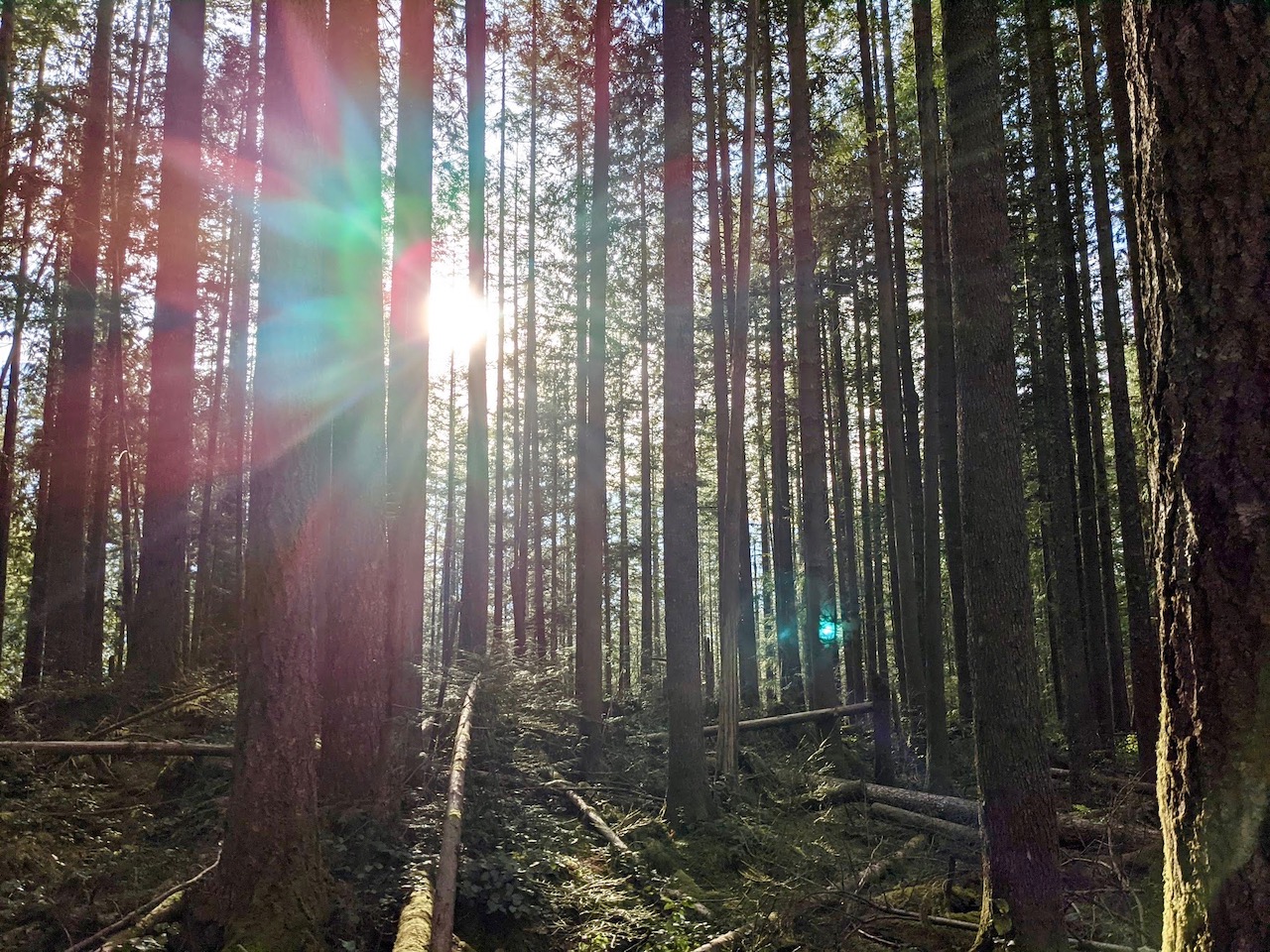
The path continued to climb as I reached the end of town, where a simple wooden gate marks the beginning of an earthen trail. I headed to the right after passing through the gate, now wandering through sun-dappled trees.

On this first stretch of trail, I passed several signed trail junctions. In some cases, Leiterhorn was clearly signed, but in a few spots I didn’t see it named. In these cases, I followed the sign toward Männlichen. And yes, I also double-checked my location on the AllTrails map I had downloaded. Although I find that AllTrails isn’t always 100% accurate in showing my exact location, it can still be a big help in verifying if I’m on the correct route.

Although I hadn’t gone far, I was already experiencing a wide range of terrain. In some cases I walked along a forest road, while at other times it turned to a rocky, rooty trail through the woods. In a few spots, the trail was a barely visible path worn into the grass. I passed a few buildings, a picnic site, and, yes, even the town dump. As far as dumps go, this one was pretty clean. It seemed to be the designated place to discard old roofing tiles and concrete, rather than random junk.

Not far past the dump, I reached another junction. Here, the trail to Männlichen split off from the gravel road, while a sign pointing toward Leiterhorn indicated to keep walking straight ahead. I stayed on the road toward Leiterhorn, but my curiosity about the trail to Männlichen was piqued. Another time, Männlichen, another time…

The road was actually a pleasant place to hike. I encountered no traffic , and the walk through the woods was invigorating. Occasionally, a view would open up on my right, offering a glimpse of the Lauterbrunnen Valley. It was a tantalizing hint of what was to come. Eventually, the road split, and I followed the lower lane to the left toward Leiterhorn.

As I approached Leiterhorn, the road became a trail once more. I passed another beautiful picnic area, although at first I was puzzled as to why it was surrounded by an electric fence. Then it hit me — cows! Of course, no one wants their picnic spoiled by curious bovines. I hadn’t seen any cows on my hike thus far, but that was probably because they had been moved to a higher meadow. From the picnic area, another trail wound through a gorgeous stand of trees to my final destination: the viewpoint at Leiterhorn.

What a sight! From the overlook, the Lauterbrunnen Valley extended north toward Interlaken, the steep cliffs of the valley walls gradually softening to evergreen hillsides. The Lütschine River ribboned its way through the cleft, it’s calm appearance from this distance belying the raw power it contains as it froths and churns through the valley.

After taking some time to enjoy the view, I made my way back to the picnic site. This time, I turned left to continue my loop hike back to Wengen. The trail wound steeply through the forest at first, but also passed through several open pastures.

On the return trip, I was treated to even more views overlooking the Lauterbrunnen Valley, now looking south toward the towns of Lauterbrunnen and Stechelberg. Farmhouses and barns dotted the hillside as I approached Wengen from above.

Although the mountain peaks remained stubbornly behind their cloudy covers, it was still an incredible view. Perhaps surprisingly for such a beautiful, easy hike, I hadn’t encountered more than a half dozen people on the trail, either. It just goes to show that there are hidden pockets of beauty everywhere in the Alps, and you don’t even have to go far to find them.


