Looking for more adventures near Lower Calf Creek Falls?
Head north on scenic Highway 12 to Capitol Reef National Park, where stunning desert hikes to Hickman Bridge, Cassidy Arch, and more await.
LOCATION
The Lower Calf Creek Falls Trailhead is located just off scenic Highway 12 in Utah, 16 miles northeast of the town of Escalante and 12 miles south of Boulder.
LENGTH
6.2 miles out-and-back
DIFFICULTY
Moderate — With an elevation gain of only 500 feet, the trail to Lower Calf Creek Falls isn’t too hard on the knees. The trail is sandy, with a few rocky, bumpy sections, so good footgear is recommended.
WE HIKED IT
April, 2026, 3 hours and 15 minutes
CURRENT INFO
Maps and reviews for the Lower Calf Creek Falls Trail are available on the AllTrails website. If you’re planning a trip to this fascinating region of Utah, I recommend the guidebook Moon Zion & Bryce: With Arches, Canyonlands, Capitol Reef, Grand Staircase-Escalante & Moab.

GOOD TO KNOW
- There is a $10 fee to park at the Lower Calf Creek Falls Trailhead. This fee is covered by the America the Beautiful Pass. If you don’t already have a pass, purchase one ahead of time, and check to see if you qualify for a free or reduced price pass — veterans, seniors, and 4th graders do! Otherwise, there is a pay station at the trailhead that accepts credit cards. You can also pay in cash.
- Vault toilets are available at the trailhead.
- Water is available near the trailhead as you pass through the campground. Look for faucets located next to the trail.
- Yes, that’s right — you can camp by the Lower Calf Creek Falls Trailhead. The Calf Creek Recreation Area Campground is first come, first served, with 13 small sites nestled among the trees.
- Bring shade hats, sunglasses, and sunscreen. Much of the trail is exposed to the sun.
- Lower Calf Creek Falls can be hiked from spring through fall. Summer hiking will be hot, and also potentially crowded, as hikers head to the pool at the base of the falls for a swim.
- Pick up an interpretive trail guide at the trailhead. The guide includes insights about native plants and wildlife, and points out petroglyphs and granaries made by the Fremont People who lived here hundreds of years earlier. These sites can be difficult to spot on your own, so I highly recommend using the guide. Numbered posts along the trail correspond with the information in the guide.
- Always follow Leave No Trace principles.

HIGHLIGHTS
There’s something about Lower Calf Creek Falls. I felt it as we started off on the trail, a certain timelessness, a place where water flows in the desert, creating a stunning contrast between lush, green foliage and sheer, rocky canyon walls. To find a waterfall in this environment, tumbling more than 100 feet into the canyon, is an unexpected delight. So go ahead, revel in the delight — we could all use a little more of it in our lives.

THE KIDS’ TAKE
Lower Calf Creek Falls is a moderate hike with a fun destination — a true waterfall oasis in the desert. At 6.2 miles, it may be a little long for some younger hikers, but the path itself isn’t overly strenuous. Much of the trail is sandy, with a few short rocky sections.
And the waterfall — wow! We visited in April, but just imagine how much fun the kids would have splashing around in the pool at the base of the falls come summer. I’ve heard this is an extremely popular summer hike, and I can see why. If you visit in summer, I recommend arriving early, to beat both the heat and the crowds.
Before heading out on the hike, pick up an interpretive guide at the trailhead. Trail markers indicate where to stop and read from the guide, which gives insight into the local flora, fauna, and the Fremont People who once called this beautiful area home. The guide points out ancient granaries in the high reaches of the cliffs and impressive petroglyphs across the river. These archaeological remains are far from the trail and aren’t easy to spot on your own, so referring to the guide is key.

WHILE YOU’RE HERE
Lower Calf Creek Falls is the highlight of the Calf Creek Recreation Area. You can camp here, and there are plenty more hikes to explore, including one to Upper Calf Creek Falls. While not as stunning (or popular) as Lower Calf Creek Falls, it’s a beauty in its own right.
This area is part of the Grand Staircase-Escalante National Monument, which offers a wealth of outdoor adventures. Even the drive here is adventurous. We drove to the trailhead from Boulder, a tiny town just 11.5 miles north of the Lower Calf Creek Falls Trailhead. The drive took us over the Hogback, an infamous four-mile stretch of Highway 12 that snakes along a narrow sandstone ridge and drops precipitously on either side. It’s not quite as scary as it might sound, but believe me, I took it slow. In Boulder, be sure to stop at either the Burr Trail Grill or Little Bone Food Truck for a satisfying meal. For more insight into the life of the people native to this region, check out the small but fascinating Anasazi State Park Museum.
We visited the Calf Creek Recreation Area during our stay at Capitol Reef National Park. We spent five nights at Fruita Campground, which was a great home base for exploring the region. Cassidy Arch, Hickman Bridge, Cohab Canyon, and more great hikes await in this gorgeous desert landscape.
If you get an early start, you can tie in a hike to Lower Calf Creek Falls with the “Loop the Fold” scenic drive. This incredible route loops from Capitol Reef National Park to Boulder and back, crossing the Waterpocket Fold via the staggeringly steep Burr Trail switchbacks. This section of the road is unpaved, and high clearance is helpful. Check the weather before you go, as rain storms can turn the otherwise dry roadbed to a thick slurry of slick mud. The mostly paved drive between Boulder and the Burr Trail is gorgeous, and I recommend driving this section even if you don’t have time for the full loop. The Capitol Reef Visitor Center sells a helpful driving guide that points out many areas of geological interest.
Our Experience
Snowflakes fell as we drove from Capitol Reef National Park to the gateway town of Torrey. They continued as we headed south on Highway 12, slowly climbing higher and higher through the Dixie National Forest. As we crested Boulder Mountain Pass, the road eased downwards, and by the time we reached Boulder, the snow was but a memory. When we arrived at the Calf Creek Falls Trailhead that afternoon, the weather could not have been more perfect for a desert hike.

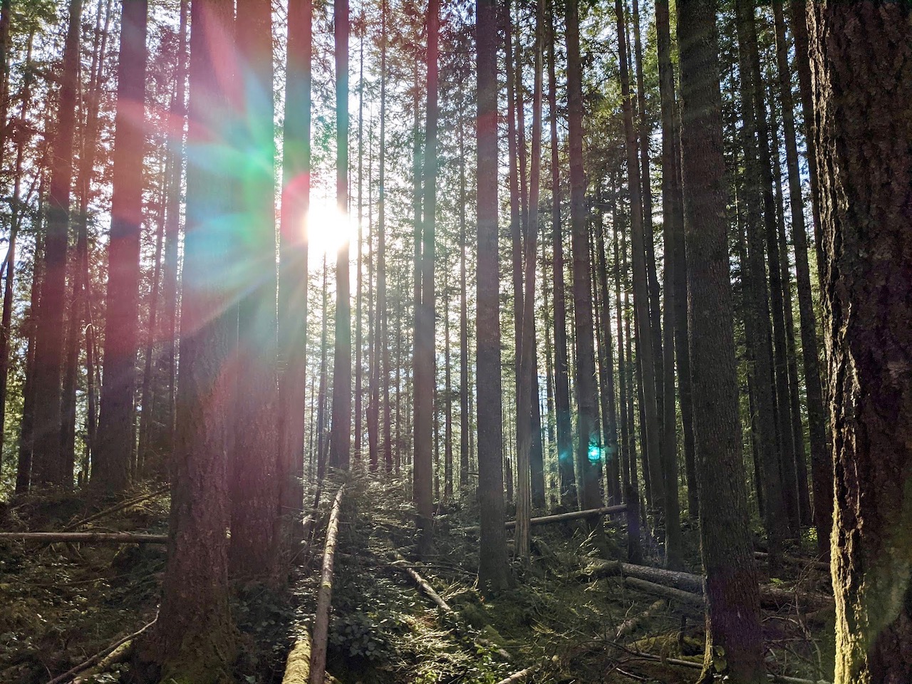
The trail led through the Calf Creek Recreation Area Campground, which was largely empty in mid-April. We climbed past layered red rock walls alongside a bucolic creek. At some points, the trail was rocky and rough, but that was broken up by long stretches of sandy paths. Everywhere we turned, new spring leaves sprouted from the trees, waving gently in the light breeze.

I had picked up a copy of the interpretive guide at the trailhead, and paused at each of the trail markers to read. Some stops provided insight into the local ecosystem, and the vital role Calf Creek plays. Others pointed out subtle signs of the Fremont people, who once called this area home. These could be difficult to spot without the guide. At one point, we found ourselves straining to spot the ancient granaries built into the rock on the opposite side of Calf Creek. Another hiker helpfully stopped to give us some tips on where to look.

As the hike continued, the sandstone shifted from red to golden brown. Rocky spires and canyon walls towered overhead as the canyon widened. Calf Creek transformed into a rich marshland, thanks in part to the beavers who make their home here. We spotted a few impressive beaver lodges from the trail.

Not far past the beaver marsh, the canyon walls narrowed, their steep walls looming above us. Across Calf Creek, another sign of the Fremont People appeared, a group of three figures etched into the cliff. These were much easier to spot than the granaries, but still a good distance from the trail. Without the interpretive guide, we might have passed by without even noticing.

As we walked deeper into the canyon, Calf Creek narrowed, becoming a thin ribbon of crystal clear water. Bunches of reeds crowded the banks, while strong, tall trees provided a natural canopy. We knew Lower Calf Creek Falls lay just ahead.

As is typical with so many waterfalls, we heard it before we saw it. Looking up, we caught our first glimpse above the trees as water streamed through a narrow pass in the rock walls. Excitedly, we quickened our pace.

Now this was a true desert oasis! A wide sandy beach arced gracefully around a placid pool of tantalizingly clear water. Lower Calf Creek Falls cascaded down the cliffs, streaming over a brilliant streak of green algae that brought a shock of dazzling color to the warm brown cliffs. It was breathtaking.

We paused for snacks (and a lot of photos). I won’t show the waterfall again; you may have already seen it in the lovely photo here. It was cool and pleasant at the base of the falls, and I could easily imagine how heavenly it would be on a hot summer day.

After our break, it was time to head back. The trail alongside Calf Creek is quite rocky near the falls, then opens up to a wide, sandy path as you leave the narrowest part of the canyon behind. There were a few more rocky sections ahead, but overall the return trip passed quickly. Even the boys were surprised to find how soon we were back at the trailhead.

As we finished our hike, I couldn’t believe how well the day had worked out in our favor. From a gorgeous snowy drive to a springtime hike, from mountaintop vistas to creekside rambles, we had experienced an astonishing amount of diversity on our 60-mile drive. As for Lower Calf Creek Falls, well… let’s just say that this is one trail that will always have a home in my heart. Even now, as I finish writing this, the magic lingers. If you go, I hope you feel it, too.


