Up for chasing a few more waterfalls along the Columbia River Gorge?
Multnomah Falls is a must, of course. For a few hidden gems, head to Punchbowl and Dead Point Falls near Hood River or Mosier Falls in Mosier.
LOCATION
The Wahclella Falls trailhead is located off Exit 40 from Highway 84, about 4.5 miles west of Cascade Locks.
LENGTH
2.4-mile lollipop loop
DIFFICULTY
Moderate — The Wahclella Falls trail starts off easy on a wide, flat path. The trail then becomes narrower, rockier, and steeper. While the uphill climb isn’t extreme, there are some steep drop-offs along the trail. Hold close to little ones when hiking these sections, and be mindful that it’s easy to slip on loose dirt and rocks.
WE HIKED IT
April, 2021, a little over 1.5 hours
CURRENT INFO
The Wahclella Falls trail is part of the Columbia River Gorge National Scenic Area and is managed by the U.S. Forest Service. Check the Freinds of the Columbia Gorge website for trail information. Trail reports are available on the WTA (Washington Trails Association) website.
GOOD TO KNOW
- There is a $5 fee to park in the small lot at the trailhead, which is managed by the U.S. Forest Service. Additional parking is available along the road before the parking lot at no cost, but be careful not to park in a no parking zone.
- A port-a-potty is available at the trailhead.
- Pets on leash are allowed on the trail to Wahclella Falls.
- An access point for the Bonneville segment of the Historic Columbia River Highway State Trail is located just before the parking lot for Wahclella Falls. This paved multi-use trail is open to bikes and pedestrians, and connects John B. Yeon State Park with the town of Cascade Locks.
- The Wahclella Falls Trail is extremely popular, and for good reason — it’s gorgeous! To avoid crowds, go early in the day or on a weekday, but know that even then you won’t be alone.
HIGHLIGHTS
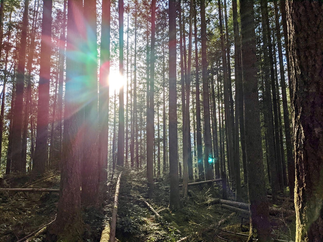
Wahclella Falls may not be one of the tallest waterfalls in the Columbia River Gorge, but its sheer power as it dives through the surrounding basalt amphitheater is a sight to behold. The trail itself is also a delight. While you can still see the devastation from the 2017 Eagle Creek Fire, the rocky canyon that leads to the falls is filled with greenery. The trail follows a sparkling creek, with smaller waterfall sightings and wooden bridges to charm hikers along the way.

THE KIDS’ TAKE
Our trip was coming to an end, so the kids weren’t initially thrilled at the prospect of another hike. Fortunately, this trail has charisma, which helped draw them in. My younger son was still pretty tired, but we made it! And the roaring waterfall was an awesome sight.
WHILE YOU’RE HERE
Wahclella Falls sits in the heart of the Columbia River Gorge’s “waterfall alley”, so it’s hard to know where to begin. Most visitors start with the biggie — Multnomah Falls. I recommend the gorgeous 5.5-mile loop hike from Multnomah Falls to Wahkeena Falls, which is also a great way to escape the crowds. When visiting Multnomah Falls in the peak summer season, be sure to reserve online in advance. The trailhead for Elowah Falls, yet another lovely waterfall, is only a few miles west of the Wahclella Falls trailhead.
Cyclists can bike the Bonneville segment of the Historic Columbia River Gorge Highway State Trail, which passes right by the Wahclella Falls trailhead. If you’re biking this segment, consider making a stop to hike to the falls. For more biking enjoyment, head east to the Mitchell Point segment of the Historic Columbia River Gorge Highway Trail. Traveling from Wyeth to Viento, it’s an excellent ride that includes several more waterfall sightings.
Across the highway from Wahclella Falls, check out the Oregon visitor center for the Bonneville Dam. A few miles to the east, the town of Cascade Locks offers views of the famed Bridge of the Gods and a couple of great places to eat. Try Brigham Fish Market for fish and chips, enjoy a meal with a view at Thunder Island Brewing, or splurge on ice cream cones from Eastwind Drive-In. For even more great food options, check out my guide to Eating Up the Columbia River Gorge.
Our Experience
We were on our way home. After eight nights spent near Hood River, it was time to return to Seattle, where work and school awaited us the next morning. In the meantime, how could we resist a final hike in the Columbia River Gorge? It was the perfect opportunity to visit one last waterfall.
It was also early afternoon on a beautiful Sunday, so I knew we wouldn’t be hiking alone. The small parking lot for the trailhead was full, and we followed two other cars up the nearby road, searching for a spot to park. Luckily, we didn’t have to drive to far before a vacated place to pull over appeared. Success!

We began the hike on a broad, flat trail. It was busy, although not packed with people. Michael and I were surprised by the number of other hikers who weren’t wearing masks or making much effort to distance themselves from others. The risks of transmitting coronavirus on a hike may be low, but it’s still an important consideration. Fortunately, the wide trail gave us ample space.

As we walked, Tanner Creek burbled happily over the rocky creekbed. Rounding a corner, we came to the first bridge of the hike — and first waterfall! Just beyond the trail, Munra Falls slid down a smooth rock face into Tanner Creek. It may not be as impressive as Wahclella Falls, but it’s always a treat to see a waterfall in close range.

After leaving Munra Falls, the trail narrows and begins to climb. While the pitch isn’t too steep, the path becomes rockier, requiring careful footing. Soon, we found ourselves high above Tanner Creek. I clutched T’s hand tightly, keeping him away from the precipitous drop at the edge of the trail. Being a little frightened by the height, T didn’t object.

The narrow trail also made passing other hikers more challenging. On a few occasions, T and I waited, faces turned toward the high embankment on our left, to allow groups to pass. There were no easy places to step off the trail, but a few spots were slightly wider and made a better passing point. I was happy to see the trail split into a loop toward the end, as this would help thin out the crowds. We chose the upper trail, following the loop in a clockwise fashion. Sure enough, we had this section of the trial mostly to ourselves. Few people, it seemed, used the upper trail as a return route.

After crossing a newly built bridge, we heard a faint murmur of distant water. Soon, the murmur grew to a roar, and we knew our destination was close at hand. On the upper trail, Wahclella Falls appears suddenly as you round the bend, a mighty tumult of frothing water pummeling the pool below. There, directly before the falls, a large boulder provided the perfect spot to step off the trail, take a break, and admire the powerful falls.

As we left, we continued our clockwise loop, stopping frequently to take in the ever changing views of the waterfall. From the lower trail, Wahclella Falls is visible from a much greater distance, offering tantalizing glimpses of its upper tier. Along the creek, piles of logs gather where the rushing water swept them casually aside. Volcanic eruptions, sudden an powerful, created this mountainous landscape, but it is the water that slowly and steadily carves it, wearing it away over millennia, shaping it to its will.

Offering further evidence of the region’s fiery past, the lower trail of the loop passes through a field of immense volcanic boulders, now blanketed in fuzzy green moss. The path leads to a graceful bridge spanning Tanner Creek, then up again to meet the main trail. From there, it gradually makes its way back down to the wide, smooth trail leading to the trailhead. This time, T felt more confident, and wanted to tackle the downhill trek on his own. There were a few points, however, where I still insisted on holding his hand. Safety first!

Back at our car, I gushed about how beautiful the hike had been, even if it was a little busy. Even T, who struggled on the hike out, was in better spirits. And when Michael suggested stopping by Sugar Pine Drive-In for soft serve ice cream as we continued our journey home, well, who could resist? A gorgeous hike like this one deserves a sweet ending.


