A Historical Hike at Fort Cascades on the Columbia River
LOCATION
Fort Cascades National Historic Site is located west of Bonneville Dam on the Washington shore of the Columbia River, just off Highway 14. The site is part of the recreation areas managed by Bonneville Lock & Dam.
LENGTH
1.5 mile loop trail
DIFFICULTY
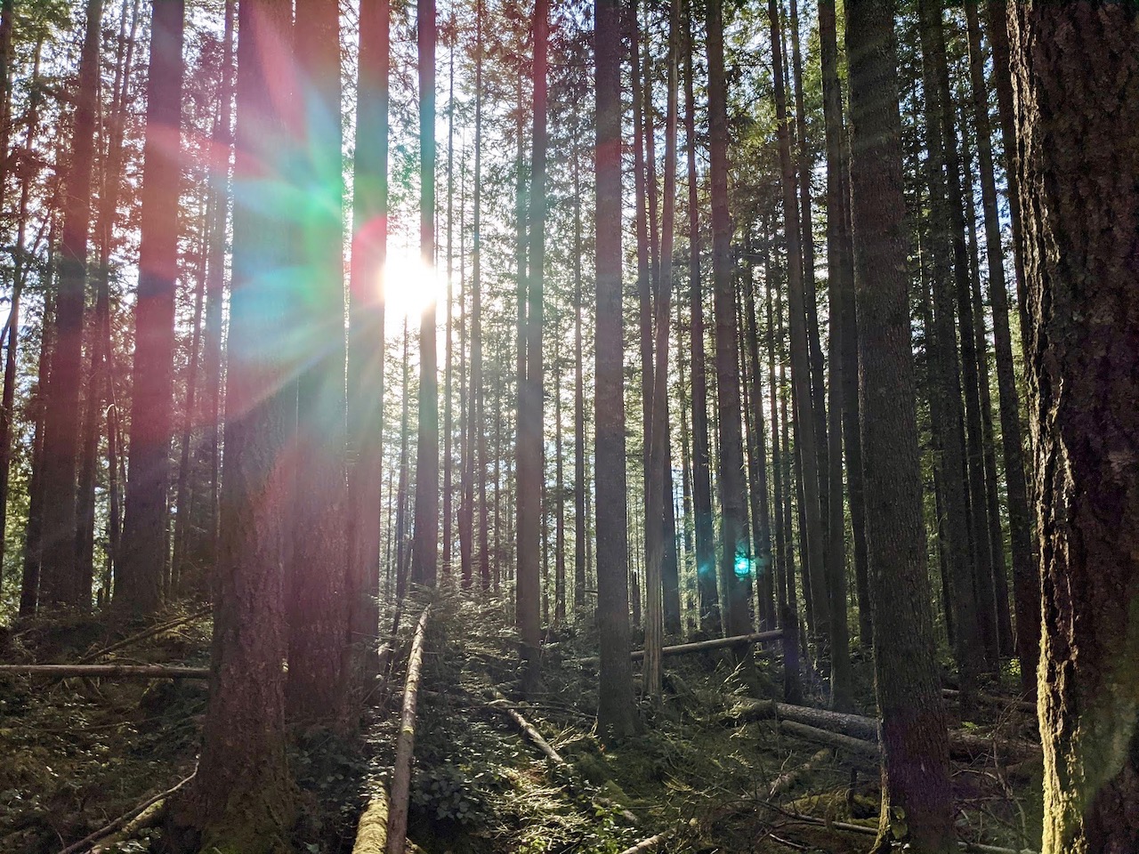
The Fort Cascades loop is an easy, flat trail with a few bumpy sections. The trail is mostly packed dirt, with some sandy spots.
WE HIKED IT
April, 2021, about 45 minutes
CURRENT INFO
Fort Cascades National Historic Site is located on land that is part of the Bonneville Lock & Dam Recreation Area managed by the U.S. Army Corps of Engineers. Visit the Freinds of the Columbia Gorge website for trail information. Trail reports are available on the Oregon Hikers website or AllTrails. The hike is featured in the book Best Hikes with Kids: Western Washington by Susan Elderkin.
GOOD TO KNOW
There is no fee to park at the Fort Cascades trailhead. Dogs on leash are allowed on trails, and a vault toilet is available. The kiosk at the trailhead provides a historical background of the area. For more detailed information about the former Fort Cascades settlement of the mid-1800s, be sure to take one of the kiosk’s interpretive brochures on the hike with you. Signs of the long-gone town are no longer visible, but the self-guided walking tour helps you imagine what once was.
Beware of poison oak! Avoid it by staying on the trail, and don’t touch unknown plants. It was especially present in the brush at the edge of the woods on the river side of the trail. The leaves, grouped together in threes (hence the well-known saying, “leaves of three, let it be”) range in color from bright to deep green, maroon, or fiery red. The leaves fall off in winter, but you can still get a rash from oil produced by the plant’s bare, stick-like branches.

HIGHLIGHTS
The Fort Cascades trail is an easy, forested walk with views of the Columbia River and Bonneville Dam. While few historical artifacts remain, those interested in history will enjoy learning about the town of Fort Cascades as they make their way around the loop.
THE KIDS’ TAKE
The boys didn’t have a lot of time for history on this mini-hike. They ran ahead through the forest, eager to get some energy out. The best find was the sandy beach along a protected pond near the start of the trail. We didn’t have much time to spend here, but it would be a great place to play on a warm day.
WHILE YOU’RE HERE
For more short hikes, head four miles west to Beacon Rock State Park. Climb the stairs to the top of Beacon Rock itself, or take a 2.5-mile trip to Pool of the Winds. Longer day hikes, such as Hamilton Mountain, are also accessible from here. Check out the visitor center on the Washington side of the Bonneville Dam, where you can view the dam’s enormous turbines and fish ladder. Good food is available across the Bridge of the Gods in Cascade Locks. Try Brigham Fish Market for fish and chips and smoked salmon, enjoy a delicious brew pub meal at Thunder Island Brewing, or grab a burger and ice cream at Eastwind Drive-In.
Our Experience
Fortified with fish and chips from Brigham Fish Market, we left Cascade Locks and clattered north to Washington across the Bridge of the Gods. Our goal was the Washington visitor center for the Bonneville dam, but I decided to steer us toward Fort Cascades first when I saw that the entrance road for the dam passed the trailhead. A short post-lunch hike sounded just right.
Only one other car was parked at the small trailhead. We ambled over to the kiosk that marks the start of the trail. Signs provide information about the history of this land along the Columbia River, from the Native American tribes who once made their home here, to Lewis and Clark, who mentioned visiting a village on this site during their travels. In 1850, the pioneer town of Cascades was founded. Not long after, in 1856, the army built Fort Cascades to provide protection for those navigating the challenging rapids upstream. To learn more as we hiked, we grabbed an interpretive brochure to take on the trail with us.

But first, the kids spied something more interesting. A sandy path below the kiosk led down to a beautiful boulder-studded beach on the Columbia. A jetty separated a small pond from the main flow of the river. Across the water, forested mountains rose sharply above the banks. Looking upriver, water gushed through the spillway of the Bonneville Dam. The kids probably could have spent a a good hour playing here, but I managed to convince them to join us back on the trail.

The path starts off easy, a pleasant ramble through the woods. A few more signs offer insight into the past, but for most of the trail, the brochure is your only guide. Numbered posts indicate where to stop and read the corresponding section of the self-guided tour, but no remnants of the once bustling town are to be seen. This is largely due to a massive flood in 1894 that ravaged Cascades. Today, the boulders you see on the trail, remnants of the devastating flood, are the only remains.

As we walked, we enjoyed occasional views of the mighty river and the dam that harnesses its power. The river looked quite different in 1850, when the town of Cascades was founded. Then, dangerous rapids made navigating the Columbia a sometimes terrifying experience.

At one point, a side trail to the left of the main path led us onto an open bank along the river. We followed it, figuring it led through the former heart of Fort Cascades and would soon lead back to the main trail. Michael and the kids weren’t interested in any detours, so stuck to the trail in the woods. Before long, we realized that our sunny trail came to a rather abrupt end, forcing us to turn back.
The main trail was close, just within the woods. Maybe, we thought, we might find a shortcut to connect them. It was then that we saw the poison oak, and decided sticking to the trail wasn’t such a bad idea after all. Except for my dad, that is. He managed to squeeze through the brush between the two trails, but frankly, I wouldn’t recommend it. My mom, father-in-law, and I decided to walk the extra five minutes back to the trail junction rather than risk poison oak, and we do not regret that decision!

We were now well behind Michael and the boys, but no matter. The self-guided tour told us of a hotel, barns, stables, a blacksmith shop, and more… all long gone. At one time, a tram line passed this way, transporting fish from the giant fish wheels on the Columbia to the cannery downstream. The tram, built in the 1890s, ran until 1930, shortly before fish wheels were outlawed due to the depletion of salmon. A few remnants of the former tram remain alongside the trail.

Near the end of our walk, we passed one final marker, the gravestone of Thomas McNatt, one of the founders of Cascades, who died of an illness in 1861. It’s a sobering end to the hike, but surrounded by the peaceful forest on a sunny day, our eyes were soon drawn to the golden green light slanting through the branches above us. Back at the trailhead, the kids were running, full of boundless energy. Past, present, and future — it all comes together at Fort Cascades.


