Looking for more to explore near the Banks-Vernonia Trail?
Delve deeper into the forest with a hike to Wilson Falls in the Tillamook National Forest or Drift Creek Falls near Lincoln City.
LOCATION
The Banks-Vernonia Trail has five trailheads (six including Anderson Park in Vernonia), and is also accessible from L.L. Stub Stewart State Park. We started at the south end of the trail at the Banks Trailhead, which is located in the town of Banks, Oregon on NW Sellers Road, northeast of the junction between Nehalem Highway (Highway 47) and NW Banks Road.
LENGTH
- 22 miles one way
DIFFICULTY
Easy/Moderate — The Banks-Vernonia Trail is paved and mostly flat. Between miles five and 11, the trail gradually gains around 1,000 feet in elevation at about a 3% grade. There is also a short set of downhill switchbacks at an 11% greade just after mile 12, followed by another set of switchbacks leading back up. Some of the pavement is rough and bumpy, but most of the trail is in good shape. There are several gravel road crossings and wooden bridges.
WE BIKED IT
July, 2026, around 4 hours to bike the entire trail from Banks to Vernonia, including stops at each trailhead
CURRENT INFO
Information about the Banks-Vernonia Trail is available on the Oregon State Parks website. An excellent map is available here.

GOOD TO KNOW
- There is a $10 day use fee for Oregon residents ($12 for out of state visitors) to park at the Banks-Vernonia trailheads. Scan the QR code at any of the trailheads to pay online. Once paid, the fee covers parking at all trailheads for the day (except for parks in Vernonia, which charge their own separate $5 fee). The fee is also covered by the annual Oregon State Parks pass.
- The Banks-Vernonia Trail is a multi-use trail. It’s open to pedestrians and horses as well as bikers. E-bikes are allowed, and the speed limit is 15 miles per hour.
- If you can, bring two vehicles and park one at each end of the trail to facilitate a one-way ride. Or, if anyone in your party doesn’t plan to bike, they can drive to meet you at the various trailheads. My mom took on this role on our trip, and it was a huge help. We didn’t have to carry anything with us while biking and were able to cover the entire 22 miles.
- Flush or vault toilets are available at all trailheads.
- Drinking fountains are available at the Banks Trailhead and Anderson Park in Vernonia.
- Bike tool stations are located at trailheads and in L.L. Stub Stewart State Park where the trail crosses the main road.
- Picnic tables are available at the Manning, Buxton, Tophill, and Beaver Creek trailheads. There is also a picnic table near the road crossing in L.L. Stub Stewart State Park. If you have time to venture further into the park, there’s a lovely day use area here as well. In my opinion, the Buxton Trailhead has the nicest picnic area along the trail, including a covered picnic shelter. The Tophill Trailhead is another good option.
- Pets on leash are welcome.
- The Banks-Vernonia Trail is mostly shady, but there are a few open areas. Bring water, snacks, and sunscreen.
- Restaurants and stores are available in both Banks and Vernonia at either end of the trail.
- For a post-ride treat, head to Calypso’s for soft serve ice cream on the banks of Vernonia Lake. This was undoubtedly my younger son’s favorite part of the ride!
- Always follow Leave No Trace principles.

HIGHLIGHTS
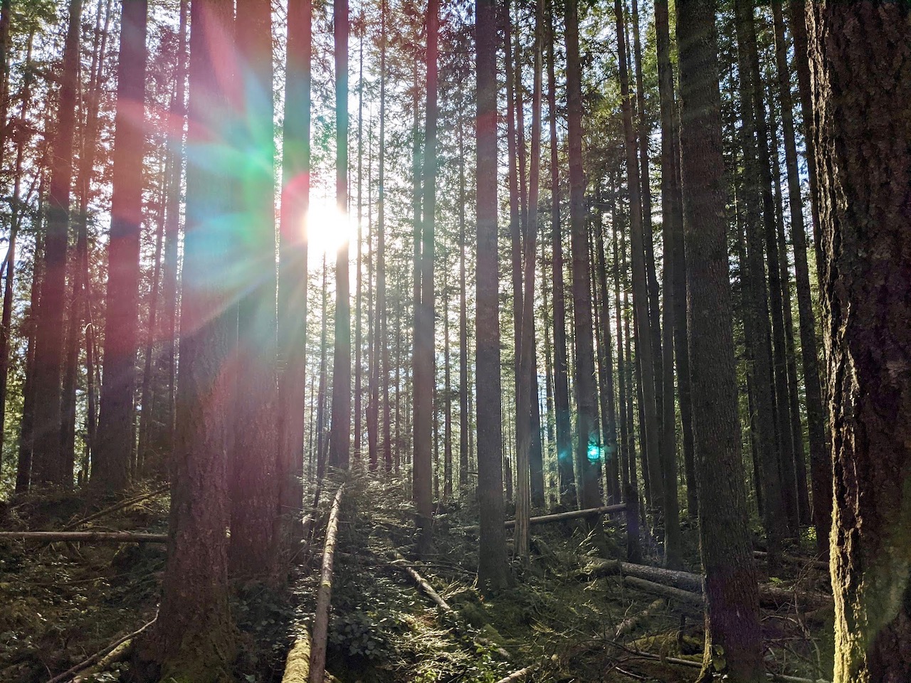
The Banks-Vernonia Trail was one of Oregon’s first rails-to-trails projects, and first opened in 1991. This lush, forested route leads from the farmland surrounding Banks to the eastern slopes of the Coast Range, crossing numerous wood bridges and an 80-foot tall railroad trestle as it makes its way north to Vernonia.
While I recommend biking the full route if you can, the best part (in my humble opinion) is the 13-mile stretch between Manning and Beaver Creek. This is where the trail veers away from the highway and you can fully appreciate the peace and beauty of the forest. We were surprised by how quiet it was on a pleasant summer Friday. Although we passed a number of other bikers, we usually had the trail entirely to ourselves.

THE KIDS’ TAKE
Rail trails are ideal for family bicycle outings, and the Banks-Vernonia Trail, with its wealth of trailhead options, is just about perfect. With countless ways to customize your outing, you can easily plan a short trek to accommodate beginner bikers, and build in frequent snack breaks to keep everyone well fed. To keep it easy, consider starting a on-way trip from Tophill. Yes, you will start your ride with a short series of uphill switchbacks, but it’s all downhill from there. And don’t worry, it’s OK to walk your bike up the switchbacks — I did!
My kids were 10 and 15 at the time of this ride. There were some challenges for my younger son, but with more air in his tires and the help of a passing bicyclist who tightened the screws on his handlebars (thank you for looking out for young bicyclists), he pushed ahead and completed the entire 22-mile trip on his own two wheels. The reward was a soft-serve ice cream cone from Calypso’s at our final destination in Vernonia. Ahh, the sweet, sweet taste of victory!

WHILE YOU’RE HERE
The Banks-Vernonia Trail passes through L.L. Stub Stewart State Park, a beautiful wooded area offering more trails, picnicking, and camping. Trails within the park are multi-use, and include 15 miles of mountain bike trails. The park is open year round.
For those looking to extend their bicycle adventures, the Banks-Vernonia Trail connects with the 23-mile Crown Z Trail in Vernonia. This partially paved trail extends east to Scappoose near the Columbia River.
Vernonia itself is charming small town worth a look. The historic downtown has been spruced up in recent years and includes a number of eateries and small shops. For us, Calypso’s Soft Serve Ice Cream, conveniently located on the shores of Vernonia Lake, hit the spot after a long day of biking. Vernonia is also home to Dewey Pool, a unique riverside swimming hole open during the summer months.
Looking to go further afield and explore more of the Oregon Coast Range? Hike to Wilson Falls in the Tillamook State Forest, or head further south to beautiful Drift Creek Falls. Our family has also enjoyed swimming in the Kilchis River while camping near Tillamook.
Our Experience
We pulled into the parking lot at the Banks Trailhead shortly before 11am on a pleasant summer Friday. After paying for our parking permit, the next order of business was to unload the bikes and make sure our tires were pumped and ready to roll. My mom was our designated driver, and we made plans to meet up with her at the Manning Trailhead before we hopped on our bikes and headed out onto the trail.

This first stretch along the Banks-Vernonia Trail is well shaded, offering occasional glimpses of farmland through the trees. It doesn’t stray far from the highway, so expect some traffic noise, but thankfully the thick vegetation hides it from view.

We crossed a few wooden bridges and were briefly distracted by ripe blackberries. The journey was off to a pleasant start, and in less than half an hour we all made it to the Manning Trailhead. I stopped to take a few calls from my mom while en route, reassuring her she was waiting for us at the correct spot.

Similar to the Banks Trailhead, the Manning Trailhead features a small parking lot next to the trail. There’s also a vault toilet and a small picnic area. We paused for a quick water break, and were soon back on the trail.

Past the Manning Trailhead, the Banks-Vernonia Trail veers away from the highway. We passed through open farmland before delving back into the woods. At one point, we crossed a wide gravel road, a far cry from the busy highway near Banks.

Back in the woods, we passed a few quiet country homes partially obscured by the surrounding trees. At one, we spotted evidence of local trail angels; a cooler offered free water alongside handy bins for garbage and recycling. Their thoughtfulness brought a smile to my lips and inspired me to stop for photographic evidence of their generosity.

Up ahead lay one of the highlights of the Banks-Vernonia Trail: the Buxton Trestle. This 80-foot high structure is the only remaining railroad trestle still in use along the trail. Lined with a sturdy wood railing and towering trees, you may not even notice the height as you cross it. For a better look, head down to the path that crosses the creek below the Buxton Trailhead.

The Buxton Trailhead is located immediatley past the Buxton Trestle. It’s the largest trailhead along the route, with a full day use area including a covered picnic shelter. A short walk from the parking lot leads to views of the trestle and Mendenhall Creek. Even for those not biking the trail, it’s a nice place to stop for a picnic.

For us, it was too early yet for a lunch stop, so after pumping up a few bikes tires we were on our way. The forest rose high around us as we entered L.L. Stub Stewart State Park. Here you’ll find additional trails open to hikers, mountain bikers, and horses, as well as a day use area and campground. We stuck to the Banks-Vernonia Trail as we passed through, enjoying the lush surroundings.

We now found ourselves pedaling harder as the trail climbed steadily upwards. It’s only a 3% grade, but the difference was palpable. This gradual increase in elevation begins around mile five, midway between the Manning and Buxton Trailheads. From there, the trail continues to rise until mile 11, shortly before the Tophill Trailhead. The final stretch to Tophill is a joyous downhill run through a serious of hairpin curves. Just don’t take this stretch too fast; the hairpin curves require special attention, especially as you may pass others slogging their way uphill in the opposite direction.

Once again, mom was waiting for us at the trailhead. This time, we were ready to eat. Sandwiches sure taste good after a long ride! Having just passed the halfway point along the Banks-Vernonia Trail, we had another long ride ahead of us, but at least this stretch would be downhill.

Well, most of it would be downhill, that is. First, we had to climb back out of the gully on another series of switchbacks, this time leading up. The path on either side of the Tophill Trailhead follows a steep 11% grade, but fortunately it doesn’t last long. I admit I couldn’t quite pedal my way up all the switchbacks and ended up walking my bike. We can blame it on the fact I didn’t downshift soon enough, right? Two of our party of four were strong enough to make it to the top without dismounting. Both my 15-year-old son and my dad pushed through the pain and were rewarded with the satisfaction and pride of making it to the top.

With the switchbacks behind us, it truly was all downhill from here. We easily made it to the Beaver Creek Trailhead within half an hour, where a gorgeous, wide wooden bridge crosses Beaver Creek, leading to a gravel turnout off Nehalem Highway. At first glance, something appears to be missing. No toilet? Never fear, there is a vault toilet nearby, located along the Banks-Vernonia Trail a short walk south of the bridge.

From Beaver Creek, the trail closely follows the highway on the final stretch to Vernonia. This is also the bumpiest section of the trail. Thankfully, the bumps are clearly marked with spray paint, making it easy to avoid the worst offenders.

The final trailhead along the Banks-Vernonia Trail is the Anderson Park Trailhead in Vernonia. Those looking for an actual restroom will find one here next door to the town campground. If you’ve made it this far, congratulations! You’ve biked 21 miles!

We still had another mile or so to go, however. Our final destination was Vernonia Lake. From the Anderson Trailhead, we continued along the paved path, and soon came to a gravel road. Initially, the boys and I made the mistake of continuning alongside the road, but soon turned around. Don’t make our mistake — follow the sign pointing toward Vernonia Lake to continue along the Crown Z Trail, which conveniently connects with the Banks-Vernonia Trail.

At Vernonia Lake, we celebrated the end of the ride with ice cream from Calypso’s. My younger son, who pushed through to complete his longest bike ride yet, had been longing for this moment, and eagerly claimed his prize.
One note when it comes to parking: Vernonia Lake City Park is not part of the Banks-Vernonia State Trail system, and therefore has its own separate parking fee. Drivers may want to park on a nearby city street, or make a quick stop nearby to load bikes. The fee is only $5, and worth paying to support the local parks if you plan to stay longer.
As for us, it was time to head home after the final licks of ice cream disappeared. It was a sweet ending to a day well spent on the Banks-Vernonia Trail.


