Looking for more to explore near Sahalie and Koosah Falls in the Oregon Cascades?
Hike to the sapphire waters of Tamolitch Blue Pool, or enjoy a relaxing paddle around the aptly named Clear Lake.
LOCATION
The Sahalie and Koosah Falls Trailhead is located in the central Cascades of Oregon off Highway 126 (aka the McKenzie River Highway). The turnoff for the trailhead lies 8.5 miles south of Santiam Junction, which is where Highway 126 merges with Highway 20 to the east and Highway 22 to the west. Part of this loop hike follows the longer McKenzie River Trail.
LENGTH
- 2.5 mile loop
DIFFICULTY
Moderate — A series of stairs helps connect Sahalie Falls and Koosah Falls on the eastern side of the loop trail. On the western side of the loop, expect some hilly sections and a somewhat rougher, rockier trail.
WE HIKED IT
August, 2025, around 2.5 hours
CURRENT INFO
Information about the loop hike to Sahalie and Koosah Falls is available on both the OregonHikers website and the AllTrails website. This hike is also included in the excellent book Best Hikes with Kids: Oregon by Zach Urness and Bonnie Henderson.

GOOD TO KNOW
- Parking is free at the Sahalie and Koosah Falls Trailhead. There is a small parking area, and additional parking is available along the highway.
- Vault toilets and port-a-potties and garbage bins are available at the trailhead. There is another vault toilet located at the south end of the loop.
- Pets on leash are welcome.
- The McKenzie River Trail stretches a total of 24.5 miles. There are numerous access points along the trail, and this hike covers only a small section of the McKenzie River Trail. For a longer hike, consider hiking north to Clear Lake. For an even longer hike, head south to Tamolitch Blue Pool.
- Short on time? Hike from Sahalie Falls to Koosah Falls and back for a one-mile trip. While short, this hike packs a lot of punch. Even if you only have time to check out Sahalie Falls from the viewpoint near the parking lot, it’s worth stopping.
- Bring water, hats for shade, and sunscreen when hiking in the summer. Although much of the trail is shady, some areas are exposed to the sun.
- Good hiking shoes or boots are recommended. The trail can be a little rough at times.
- Always follow Leave No Trace principles.

HIGHLIGHTS
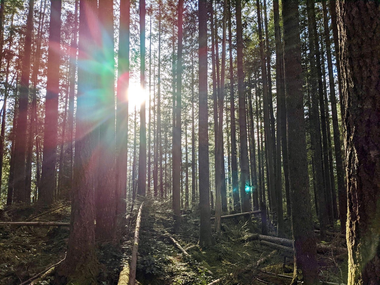
This hike starts off with a bang as you take in the grand view of Sahalie Falls thundering through the canyon. Can it get any better than this? you may wonder. Incredibly, it can. The McKenzie River itself is a showstopper, with hidden waterfalls and luminescent turquoise pools, all surrounded by verdant forest so lush that feels almost tropical. Like me, you may just find yourself falling in love with the wild beauty of the McKenzie.

THE KIDS’ TAKE
Our kids were wowed by the power and beauty of Koosah and Sahalie Falls. Truth be told, they could have happily turned around after Koosah Falls rather than hike the rest of the loop, probably partly due to the fact we had just come from a four-mile hike to Tamolitch Blue Pool.
Fortunately, there’s plenty of interest along the rest of the trail. Rushing rapids, two trail bridges, and some ripe huckleberries encouraged us to keep going. Although the trail isn’t especially tough, be prepared for some stairs and hilly stretches. Rough terrain helped keep my oldest son interested, while my younger son sometimes needed an extra break.
If your kids aren’t up for the full hike, hiking from Sahalie Falls to Koosah Falls and back is a great option. It’s only one mile total, although you will encounter stairs (and remember, if you hike down you will have to hike back up). If you find yourselves short on time, a quick view of Sahalie Falls near the parking lot is still well worth the stop.

WHILE YOU’RE HERE
The McKenzie River Trail offers many wonderful hiking opportunities. You can string them together for one long trek (in which case I recommend bringing two cars so you can hike one way, then drive back to your starting point), or break it up into a series of short hikes. We opted for a couple of shorter hikes, including a four-mile out-and-back trek to the incredible Tamolitch Blue Pool.
Don’t miss Clear Lake! Famed for its translucent blue water, this jewel of the Cascades is located only a few miles north of Sahalie Falls. No motors are allowed on the lake, which makes it perfect for paddling. You can also do a five-mile loop hike around the lake, including another stint along the McKenzie River Trail on the eastern shore. Swimming is not recommended due to the extremely cold water.
For those looking to swim, Suttle Lake is a short drive east on Highway 20. Here, the water is refreshingly cool on a hot summer day and much safer for swimming. It’s also a great place to paddle as long as you stick to the no-wake zone on the east side of the lake.
For all you campers, this area of the Cascades offers a wealth of campgrounds to explore. We spent three nights at Whispering Falls, located half an hour north of the Sahalie Falls Trailhead. After a busy day spent hiking and swimming, the rush of the North Santiam River will lull you peacefully to sleep.
Our Experience
After hiking to the jaw-dropping Tamolitch Blue Pool, we were eager for more of the McKenzie River. Luckily, it’s only a ten-minute drive north from the Tamolitch Blue Pool Trailhead to the Sahalie Falls Trailhead. We snagged the last parking spot in the lot, while our friend parked nearby along the highway, and were soon heading down the trail as the sound of rushing water grew ever stronger.

Sahalie Falls did not disappoint. Frothing white water roared over the edge of the cliff, sending up a clolud of spray as it pummeled the river below. Wow! With such a showstopping start to the hike, I couldn’t help but wonder what more was in store.

Stairs, as it turns out. Stairs were definitely in store as we wound our way down the trail toward Koosah Falls. There were also some lovely flat stretches along the river, where we spotted another waterfall (not Koosah Falls), calm pools of turquoise water, and tumbling rapids. I don’t think it’s an exaggeration to say it was one of the most beautiful rivers I have ever seen.

We reached Koosah Falls and paused for lunch at the first viewpoint. It, too, was a stunning waterfall, perhaps not quite at thunderous, but equally as lovely as Sahalie Falls. As we continued our hike, we passed a few other viewing areas, each capturing Koosah Falls from a different angle.

Past Koosah Falls, the trail leveled out, although it was still bumpy at times. Eventually, I spotted a bridge crossing the McKenzie River, which was a sure sign we had reached the southern end of the loop trail. On the opposite side of the bridge stood a large wooden bulletin board for the National Forest Service. We noticed a trail delving into the woods just past this, and took it.

We hadn’t gone far when I began to have my doubts. The trail skirted a steep bank, and we were soon stepping over or ducking under fallen logs. Compared with the previous path, this one seemed oddly unkempt, especially considering we were now supposed to be on the McKenzie River Trail. I pulled out my AllTrails app to check the map.
“Guys, this is the wrong trail!” I called out.
“Won’t it connect?”
“I don’t know about that, but I do know this is the wrong trail. We need to go back to the bridge and walk further up the road.”

I turned around, not wanting to waste any more time. When I emerged a few minutes later near the bridge, I turned right and made my way up the gravel road, which soon came to a vault toilet. Good timing! The boys and I took our turns, and I noticed a small trail heading into the woods not far from where we stood. A small wood sign said simply, “TRAIL”.

This had to be it, but I pulled out AllTrails once more just to be sure. Yep, we were back in business. By now Michael and our friend, Dustin, had decided to turn around as well, and met up with us as we started off on the true McKenzie River Trail.

This trail was rockier and more rugged than the path on the east side of the McKenzie River, but it was clear of fallen limbs. Even though we had done nothing more than cross to the other side of the river, the views were distinctly different. The McKenzie River is constantly changing, and we found ourselves frequently looking down from a higher perch above the water. Koosah Falls came into view, and I climbed onto a nearby ledge for a better look.

Beyond Koosah Falls, the trail continued to climb. We would have to work to earn our second view of Sahalie Falls. This was truer than we knew, as we discovered the view of Sahalie Falls was largely obscured from the trail. Several of us left the main trail behind and clambered down a pile of boulders where we were rewarded with a much better vantage point. It was well worth the effort, but, as always, proceed with caution.

Finally, we came to the bridge marking the north end of the loop trail. Lovely as this hike is, by now everyone felt ready for a break, and the sight of the bridge gave my kids just the energy boost needed to make it back to the starting point (well, that and another well-timed snack). We paused at one last viewpoint overlooking the top of Sahalie Falls, then headed up to the parking lot.
By this time, we had hiked a total of almost seven miles, including our earlier trek to Tamolitch Blue Pool. But rather than feeling tired, I was was exhilarated. The beauty of the McKenzie River is inspiring regardless of how little or how long you hike, and I hope it continues to bring joy for countless generations to come.


