Looking for more hikes in the greater Seattle area?
Check out Echo Peak in Renton or head to Grand Ridge and Duthie Hill for both hiking and biking trails.
LOCATION
The Cedar Butte trailhead is located 3.5 miles off Highway I-90 from Exit 32. Look for the Cedar Falls trailhead, just past the parking area for Rattlesnake Ledge.
LENGTH
3.5 miles out-and-back
DIFFICULTY
Moderate — This is a short hike, and the first part of the trail follows the flat, multi-use Palouse to Cascades State Park Trail. The second part climbs a fairly steep, narrow trail to the summit. Watch for roots and rocks along the trail.
WE HIKED IT
Febbruary, 2022, a little less than three hours including a lunch break at the summit
CURRENT INFO
Find trail reviews for Cedar Butte on the WTA (Washington Trails Association) website. A trail map is available on the AllTrails website. The Cedar Butte Trail is adjacent to Olallie State Park and the Rattlesnake Lake Recreation Area, both of which offer wonderful trails and other recreational activities.

GOOD TO KNOW
- The Cedar Butte trailhead is managed by Washington State Parks, so be sure to bring your Discover Pass or else purchase a day pass. For a list of where to purchase a pass, visit the Discover Pass website. Did you know the Washington State Park system also offers free days? For a full list of free days, visit the Washington State Parks website.
- Vault toilets and garbage bins are available at the trailhead.
- The official name for the trailhead is the Cedar Falls trailhead. It’s also one of several access points for the Palouse to Cascades Trail, a 250-mile multi-use trail open to hikers and bicyclists. The first section of the trek to Cedar Butte follows this route before branching off onto a winding uphill trail to the summit.
- Interested in other hikes that include the Palouse to Cascades Trail? Our trip around Lake Easton also includes part of this iconic trail.
- Vault toilets and garbage bins are available at the trailhead, and a basic map shows the route to Cedar Butte.
- Pets on leash are welcome.

HIGHLIGHTS
Cedar Butte is the lesser known little sister of nearby Rattlesnake Ledge. While it doesn’t offer the expansive views for which Rattlesnake Ledge is famed, it’s far less crowded, and the glimpse of the Cascade Mountains from the summit is a treat on a sunny day. The trail is steep enough to provide a nice workout, but short enough that it doesn’t feel like a grind.
THE KIDS’ TAKE
I could tell the kids had energy to burn — for much of this hike, they led the way, racing along the wide, flat Palouse to Cascades Trail, and outpacing the adults as we climbed the steep path to the summit. From the top, we ogled tiny houses tucked among the trees in the valley far below. This seemed to capture the kids’ attention more than the sight of the majestic Cascades. All in all, it was a great way to get outdoors on a sunny winter’s day.
WHILE YOU’RE HERE
The area around Cedar Butte offers a wealth of trails to try. I’ve already mentioned Rattlesnake Ledge, one of the most popular hikes near Seattle. And for good reason — the views from Rattlesnake Ledge are incredible! Just go on a weekday if possible to avoid crowds. The trail to Twin Falls is another favorite. These falls can be accessed from a few different trailheads, and it’s also possible to hike there from the Cedar Falls trailhead. Much of this route follows the Palouse to Cascades Trail, an excellent rails-to-trails path for both hikers and bicyclists.
Have you worked up an appetite yet? Drive west on I-90 to Triple XXX Root Beer in Issaquah for a nostalgic fast food diner experience. You may think the prices are high, but just wait until you see the portions — to call them “large” would be an understatement! This is no place for dieters, but it’s a fun stop if you’re not looking for health food. Pro tip: split a meal if you can. One burger or sandwich with fries is easily enough for two (or more).
Our Experience
As long line of parked cars snaked along the edge of the road as we drew near to our destination. Up ahead, a sign pointed the way toward the Rattlesnake Lake Recreation Area, home to an overflowing parking lot. Fortunately, we were headed elsewhere. Rounding the corner, we followed another sign to the Cedar Falls trailhead, where empty parking spots beckoned.

After consulting the map posted at the trailhead, we were on our way. The first part of the hike was a little confusing, as the trail soon crossed a forest road, with no sign indicating which way to go. After a quick discussion, our group concluded the correct way was to continue straight ahead on the trail.

Before long, we came to another trail intersection, this time with signage pointing toward sights along the Palouse to Cascades Trail. Cedar Butte wasn’t even mentioned. Fortunately, we knew we needed to head toward Twin Falls, so headed left onto the Palouse to Cascades Trail. Just to be sure, I checked Google Maps. Yep, all good! In case you need a map of your own, the trail to Cedar Butte appears on Google Maps, which I had no problem accessing during our hike using my T-Mobile phone. You can also download a map from AllTrails.

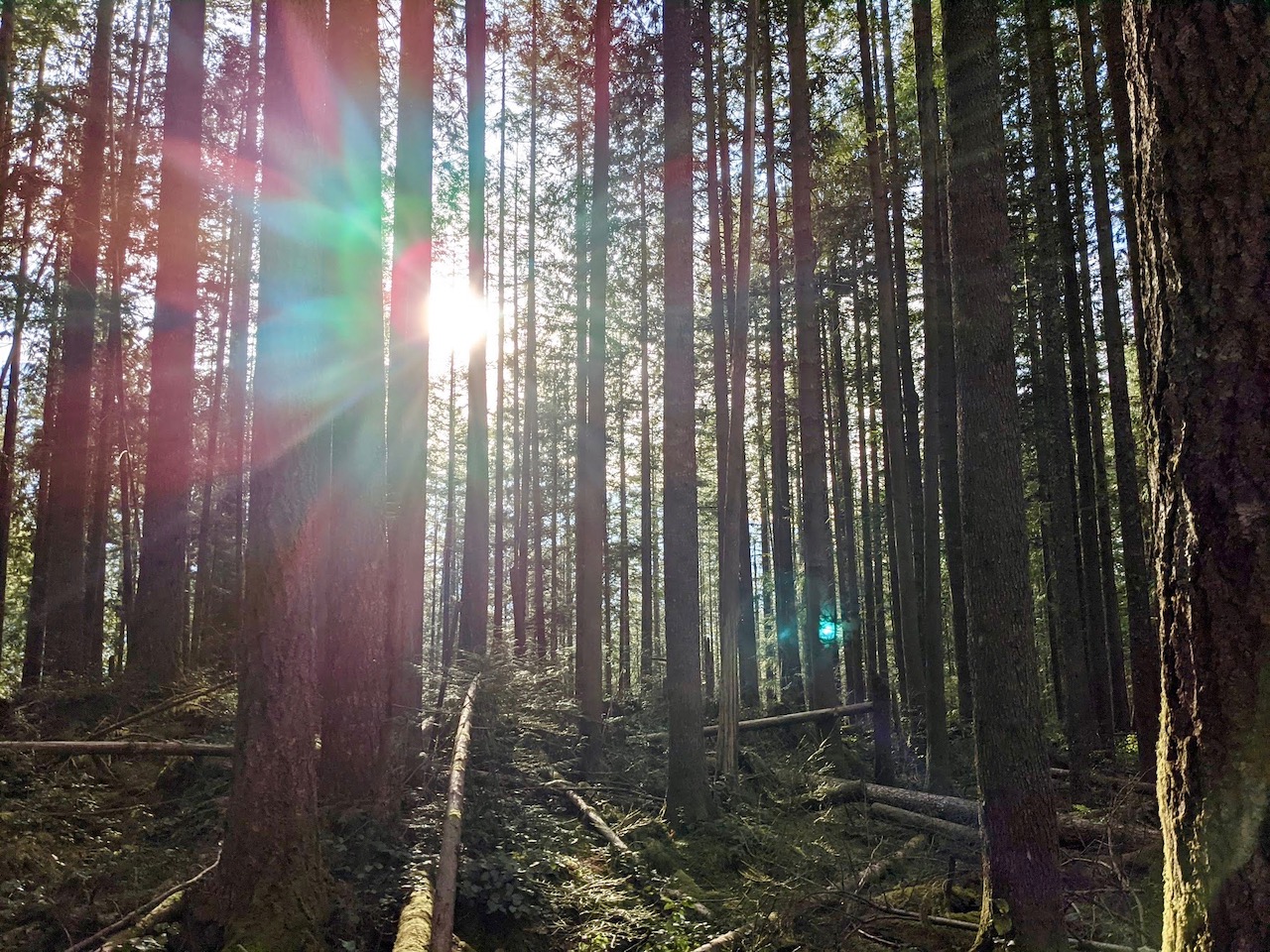
The next section of the trail followed the wide, flat Palouse to Cascades Trail. Occasionally, a bicycle would whiz by, and we passed a few other groups on foot. Through the trees, we caught a glimpse of Christmas Lake. It’s more of a swampy pond than a lake, but quite pretty in the sunshine.

The Palouse to Cascades Trail is ideal for running, so it was no surprise that the kids soon left us behind as they powered on ahead. We met up with them near the bridge crossing Buxley Creek. A few hundred yards past the bridge, I spotted a small sign nailed to a tree alongside the trail labelled “Cedar Butte”. We turned, leaving behind the broad path of the Palouse to Cascades Trail for a narrow dirt track leading up the hillside.

Initially, the trail through the woods wasn’t too steep, although there were plenty of rocks and roots to be found. Once again, the kids happily ran on ahead. About a third of the way up, the trail splits into two. We followed the main trail to the left, taking the shorter, steeper route to the top. To the right, another trail disappeared into the forest. This trail is a longer, but somewhat gentler, path to the summit.

As luck would have it, six-year-old T had already forged on ahead, not bothering to wait at the trail intersection. While I felt fairly certain he had stuck with the main trail, it was a relief to hear his voice after a few more minutes of hiking. As much as I appreciate his independence, I warned him to always stay in sight of the others. No lost children on this hike!

The trail grew steeper, and it was a relief when we came to the junction where the two trails merge before the final climb to the summit. Just a few short switchbacks, and we were there!

A number of other hikers were also there, although nothing close to the crowds that flock to Rattlesnake Ledge. Still, space atop Cedar Butte is limited, so we took a moment to appreciate the view, then made our way to the end of the trail to stake out a spot of our own. Ah, lunch at last!

As it turns out, we weren’t the only ones with food on our minds. Almost immediately, a gray jay settled in the tree above us.
“Look at that bird!” I exclaimed, thinking how pretty it looked. But the bird had something else on its mind, namely our tuna fish sandwiches. Soon it was joined by three friends, all eagerly awaiting their chance to snatch a bit of bread from our picnic. One even dared to land on my son’s hand, giving him quite the shock! Figuring there is safety in numbers, we huddled together as we ate our sandwiches, the jays watching hungrily from above. We managed to escape unscathed, although a few bits of bread that fell to the ground quickly disappeared.

We made our way back down after our picnic. En route, I noticed a number of recently fallen trees had been removed from the trail. To whomever performed this service, thank you! It’s wonderful to see our trails well cared for. We encountered only one fallen tree across the trail, a relatively small one that wasn’t difficult to cross.
The trip down passed quickly, and in less than an hour we were back at the trailhead. It was mid-afternoon, the sun was shining, and all was well with the world. At least, that’s how it felt in the moment. Our little trip to Cedar Butte was the perfect escape from the daily grind, and exactly what we needed.


