Looking for more to explore in Olympic National Park?
Try this gorgeous trail from Hurricane Ridge and explore the wonders of Lake Crescent.
LOCATION
The Grand Valley/Grand Ridge trailhead is located at the end of Obstruction Point Road in Olympic National Park. Obstruction Point Road is an eight-mile narrow gravel road open seasonally from roughly mid-July through September. Follow the Hurricane Ridge Road into Olympic National Park from Port Angeles. When you reach the first parking lot at Hurricane Ridge, take a sharp left onto Obstruction Point Road and follow it to the end.
LENGTH
9.4 mile loop hike, including the short side hike to Moose Lake
WE HIKED IT
July, 2024, about 7.5 hours
DIFFICULTY
Challenging — The Grand Valley/Grand Ridge loop includes 2700 feet of elevation gain. Most of the elevation gain (and loss) takes place over a few sections of steep switchbacks along a narrow exposed trail. Loose rocks and dirt make for a slippery trail, and hiking poles are strongly recommended.
CURRENT INFO
Check out the Olympic National Park website for more information about visiting the park. Reviews and information for the Grand Valley loop hike are available on the Washington Trails Association (WTA) website. The Grand Valley loop is also featured in the hiking guidebook Moon Washington Hiking by Craig Hill and Day Hiking Olympic Peninsula by Craig Romano.

GOOD TO KNOW
- Since the Grand Valley trail is located within Olympic National Park, you must either pay a $30 entrance fee (valid for up to seven days) or use the America the Beautiful pass (or other national parks pass) to enter. You can purchase an annual American the Beautiful pass or pay the entrance fee at the Hurricane Ridge entrance station. Olympic National Park has its own annual pass available for $55, but I prefer the America the Beautiful Pass, which covers entrance fees for all national parks as well as other national lands.
- Check ahead of time to see if you qualify for a free or reduced price pass — seniors, fourth graders and active military do! Fourth graders must print a voucher ahead of time to qualify.
- Reaching the Grand Valley (aka Obstruction Point) trailhead requires an eight-mile drive along a narrow gravel road. Starting from Hurricane Ridge, Obstruction Point Road is often steep and exposed. Four-wheel or all-wheel drive is recommended, but not required.
- Obstruction Point Road is open for only a few months each year, usually beginning in mid-July. Check the current road status on the Olympic National Park website before you go. We hiked the Grand Valley Loop on July 19th, just one day after Obstruction Point Road opened on July 18th!
- A vault toilet is available at the trailhead.
- Pets are not allowed on the Grand Valley/Grand Ridge trails or most other trails in Olympic National Park.
- Bring plenty of water. There is no potable water at the Obstruction Point trailhead or along the hike.
- Hiking poles are strongly recommended. There are a few steep switchback sections along the trail which can be slippery with dirt and loose rocks. The initial trail down into Grand Valley is especially precarious.
- Hiking boots or shoes with good traction are a must.
- Remember to pack the 10 Essentials.
- Always follow Leave No Trace principles.

HIGHLIGHTS
Before you even step out of the car, the mountain views from Obstruction Point are breathtaking. On a clear day, at least, and I definitely recommend saving this hike for a clear day. The hike through Grand Valley and over Grand Ridge has just about everything a hiker’s heart could desire — mountain vistas, alpine lakes, summer wildflowers, and terrain that is challenging yet rewarding.

THE KIDS’ TAKE
Perhaps this will come as no surprise, but the kids were conspicuously absent from this hike. The loop through Grand Valley and across Grand Ridge is not an easy trail. It can be a good option for older kids who are experienced hikers and have the stamina to handle a long day hike with steep switchbacks, but most younger children will want to sit this one out.
WHILE YOU’RE HERE
When it comes to exploring Olympic National Park, the sky’s the limit! Looking for something easier than the Grand Valley Loop that still offers mesmerizing mountain views? Try this gorgeous hike from Hurricane Ridge to Sunrise Ridge. It’s starts from the parking lot atop Hurricane Ridge, so no need to make the eight-mile drive down precarious Obstruction Point Road.
For even more hiking options, check out my Olympic Peninsula Hiking Guide. A few favorites include Sol Duc Falls and the Lyre Conservation Area. Lake Crescent is also a must, especially in summer when Devil’s Punchbowl beckons swimmers to take the plunge.
Looking for food to fuel your ridgetop adventures? Stop by Buena Luz Bakery in Port Angeles, which is conveniently located near the Olympic National Park visitor center. In addition to sweet treats and coffee, they sell sandwiches to go for your hike. For classic fast food, Frugals is a long-time Port Angeles favorite for burgers and milkshakes.
Our Experience
With the kids at camp, my husband, Michael, and I found ourselves enjoying a rare chance to head out of town for an overnight trip, just the two of us. We had a full day to ourselves on the Olympic Peninsula. What to do? Hike, of course!
And not just any hike, but something a bit more challenging that the usual family outing. At the entrance station to Olympic National Park en route to Hurricane Ridge, we asked if Obstruction Point Road was open.
“Yes, it opened yesterday,” came the reply. “Have you ever driven it before?”
We had not, but were game to try. How bad could it be, especially considering it was freshly grated prior to reopening?

We drove to Hurricane Ridge, where dozens of visitors were already milling around the edge of the parking lot. It’s easy to miss the turnoff for Obstruction Point Road, which turns sharply away from the first parking lot at Hurricane Ridge. Once we found it, I understood what the ranger at the entrance station meant. The road was well graveled, but narrow and often steep. To our right, a sharp drop-off marked the edge off the road, plunging toward the valley below. With eight miles ahead of us, I prayed we wouldn’t encounter much oncoming traffic.
We passed just two cars on the drive and made it safely to the trailhead. The parking area is fairly small, and was already mostly full. A trail sign pointed in two directions. Since we were doing a loop, either option would work. Ultimately, we decided to set out toward Badger Valley for a clockwise trip through Grand Valley and over Grand Ridge.

Our Moon hiking guidebook warned us that the turnoff for Badger Valley was unmarked. That ended up being invaluable advice — I’m not sure I would have even recognized this was a legitimate trail junction without someone to back me up.
The trail down into Badger Valley took some time, as the steep, rocky path was narrow and quite slippery. I was thankful to have hiking poles to ease the way and keep my feet from unexpectedly sliding out from under me. Once the trail leveled out, the going was relatively easy, following a wildflower laden path along the sloping valley walls.

Together, Michael and I stopped at a shady spot along the trail. Michael took his backpack off, but made one critical error. He set the pack at the edge of the trail, where it immediately toppled. There was nothing we could do but watch helplessly as it turned end over end, tumbling in slow motion down the steep hillside. Finally, it stopped about 100 feet down from the trail, propped up against a bush.
There was no question that we had to retrieve the backpack. After all, our car keys were zipped securely inside! Michael found a safer spot nearby to descend into the valley while I directed him toward the backpack from above. Thankfully, the backpack was relatively easy to retrieve in this case, but let this be a lesson: always stash your pack securely, even if you intend to set it down for only a few seconds!

The hike continued with no further incidents as we walked through sunny meadows and shady forests. Another couple passed us, but other than that we saw no one as we traversed the valley. Perhaps more people opt for an out and back hike along Grand Ridge.
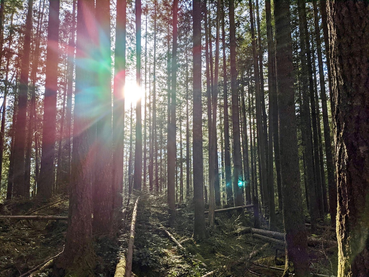
As for me, I was loving this valley trail, which leads from Badger Valley to Grand Valley. Along the way we crossed a few creeks, pausing to admire the clarity of the mountain streams. At one point, a waterfall cascaded down a cliff not far from the trail. The view was mostly obscured by the surrounding trees, but it was still an unexpected delight. And the wildflowers! They provided a riot of color along the open stretches of the trail.

Although we were loving the hike, we were still grateful when Grand Lake finally came into view. Accessing the shore at Grand Lake proved a bit difficult, but several campsites offer sweeping views across the water. We stopped briefly to admire the sparkling water before continuing on to Moose Lake.

The trail from Grand Lake led up a short series of switchbacks to a trail junction. This was the main trail that leads down into Grand Valley from Grand Ridge. Turning right would take us out of the valley and up to Grand Ridge, while turning left led to Moose Lake and beyond. Since Moose Lake was less than one mile away, we opted for the lake.

Moose Lake was even lovelier than Grand Lake. With so many stunning lakes ringed by mountain peaks, the name “Grand Valley” was certainly apt. We followed the trail along the lakeshore until we found the perfect spot for a quick picnic. Several nearby campsites were occupied, and although it wasn’t crowded we encountered more hikers here as well.
Too soon, it was time to head back. We knew we had a long and arduous climb ahead of us, and we wanted to make it back to Chimacum for a post-hike dinner at Finn River Cidery. With more time on a warm day, Moose Lake would be a pleasant place for an afternoon swim.

Sure enough, the switchbacks on the return trip were grueling. The first stretch of trail led uphill through the woods. This was tough, but nothing too hard to handle. Then came the exposed switchbacks along a narrow trail scratched out of loose rock and dirt. No matter how high we climbed, it seemed the ridgetop was always just beyond our reach.

It was a warm day, and the direct sunlight along this portion of the trail made frequent stops essential. Despite my slow going, my breath was labored and heavy. Michael, at times, was doubtful about even making it to the top, but what other choice did he have? Besides, when you can take a break to enjoy views like these, isn’t it all worthwhile?

When we finally made it out of Grand Valley to the top of Grand Ridge, the experience could only be described as, well, grand. Surrounded by the Olympic Mountains in all directions, it was a true peak experience to finish our hike (or should I say “grand” finale?).

Except… this wasn’t quite the end of the hike. After walking the spine of Grand Ridge, we found we still had a few switchbacks to go. Michael groaned in agony. Stairs? More elevation gain? But hey, at least these natural rock stairs were easier to traverse than the loose rock trail leading out of Grand Valley.

Once we passed this final hill, the trail wound gently back downhill toward the trailhead. Of course, by now I was a bit wobbly in the knees, so even a gentle trail required a little extra care. We gratefully removed out hiking boots once we arrived to the car. I checked the time. If we left now, we could still make it to Finn River before they stopped serving food. Perfect!
It was, indeed, perfect. The Grand Valley Loop is ideal for anyone looking for a full day of hiking to take in the grandeur of the Olympic Mountains, as long as you don’t mind a little extra exertion. Even Michael agreed it was well worth the effort. But for our next hike, maybe something a little easier?


