Looking for more to explore on Whidbey Island?
Head to beautiful Deception Pass State Park, where you can camp, hike to Goose Rock or Rosario Head, or kayak in Cranberry Lake.
LOCATION
Fort Ebey State Park is located on the western shore of Whidbey Island, Washington, near the town of Coupeville.
LENGTH
Various — We did a three-mile loop, but longer and shorter hikes are available. Fort Ebey State Park includes a network of 25 miles of interconnected hiking and biking trails, so your choices are almost endless.
DIFFICULTY
Easy/Moderate — There are some up-and-down sections, particularly along the inland portion of the hike. The trail is sometimes wide, sometimes narrow, and follows a well-trod dirt path.
WE HIKED IT
November, 2020, about three hours including a picnic and play time near the gun battery, plus extra time on the beach at the end of the hike
CURRENT INFO
For a good overview of Fort Ebey State Park and all it has to offer, including a basic trail map, visit the Washington State Parks website. We followed the northern portion of this loop route found on AllTrails, but shortened the loop by cutting across the middle to go directly to the gun battery. For a more detailed description of our route, read about “Our Experience“ below. The map at the top of this post labels some of the key intersections along our route.
GOOD TO KNOW
- Fort Ebey State Park is, well, a Washington State Park, so be sure to bring your Discover Pass or else purchase a day pass at the parking lot.
- Did you know the Washington State Park system also offers free days? The day after Thanksgiving, when we visited, happens to be one of those days. For a full list, please visit the Washington State Parks website.
- The trail described here begins from the parking area near Lake Pondilla.
- Restrooms are located at the trailhead.
- There is also a beautiful picnic area at the trailhead, as well as beach access.
- Drinking water is available, for both humans and pets.
- Pets on leach are welcome.
- Pack a flashlight! While you should always hike with one in case of emergencies, here at Fort Ebey you can use it to explore the underground bunker.
- While Fort Ebey State Park isn’t huge, it can be difficult to know which way to turn without a map. I recommend downloading an interactive trail map, such as the one from AllTrails (subscription required), bringing a printed map from home, or even just taking a photo of the map at the trailhead.

HIGHLIGHTS
A clear day at Fort Ebey State Park brings dramatic views sweeping across the Salish Sea to the Olympic Mountains. Even without sunny skies, the beach, woods, and historical World War II bunkers were made for exploring.
THE KIDS’ TAKE
Old World War II bunkers, a large open field made for running, and a beach with crashing waves (it’s almost like the ocean!) make this hike rank pretty high on the kid-friendly list. Just as the kids were starting to get antsy, we arrived at the gun battery, and all was well. They literally rolled down the hillside with excitement!
WHILE YOU’RE HERE
There is so much to see and do on Whidbey Island, why not make a day of it? Or better yet, make several days of it. Fort Ebey State Park has a campground, making this an ideal weekend getaway. Further north on the island, Deception Pass State Park offers several wonderful campgrounds, as well as more opportunities to hike. Try a short hike to Rosario Head, or take in the expansive view from atop Goose Rock. You can even go for a paddle in charming Cranberry Lake.
Just south of Fort Ebey State Park is Ebey’s Landing National Historical Reserve. The loop hike at Ebey’s Landing offers unparalleled views and a beautiful seaside lagoon. If you want to take a break from hiking, check out the historic town of Coupeville, famed for its picturesque waterfront. South of Coupeville, a favorite stop of ours is Whidbey Pies in Langley. Freshly baked pie after a hike, anyone?
Our Experience
Special Note: You can find the trail junctions mentioned below by referring to the map at the top of this post if you would like to follow our same route.
The day after Thanksgiving, we Seattleites were blessed with mild, mostly sunny weather. Perfect for a hike! In fact, we had pre-planned a hike for this very day, and met up with friends in the late morning at Fort Ebey State Park on Whidbey Island. Our meeting point was the parking area near Lake Pondilla, a small lake tucked away in the woods at the north end of the park. Just in front of our parking spot, we could see the beach, the water startlingly blue in the midday light. Just up the hill was a beautiful picnic shelter, and other tables and benches offered the chance to relax and enjoy the view.

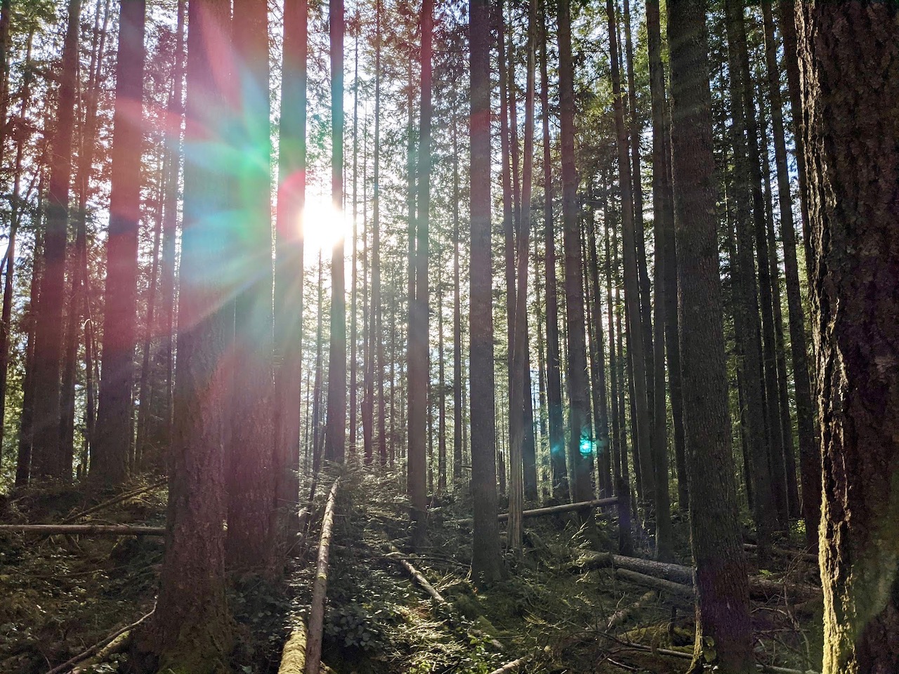
We, however, were not going to enjoy the view just yet. Instead, we crossed the road to the trailhead, starting our loop hike on the inland side of the park. The trail first headed north, allowing us a partial view of Lake Pondilla through the trees below us. Soon, we reached the park boundary, then turned right onto a forest road before making a left turn onto the well-signed Kyle’s Kettle trail.
I say well-signed, but be aware that once you leave the parking area behind, you will not find maps along the trails. While signs provide names at most junctions, the park offers a network of 25 miles of intertwining trails, and the names don’t always indicate where they may lead. I doubted we could get truly lost, but I didn’t want to lead our group on a wild goose chase through the hinterlands of Fort Ebey State Park.
From Kyle’s Kettle, we turned left onto the Grandpa Tree trail. What was the Grandpa Tree? It wasn’t labeled, but we came across a towering snag with a younger tree growing out of its side, far above our heads. There was no doubt in our minds that this must be the Grandpa Tree.

Coming to an unmarked intersection, I checked the map on my phone.
“This way,” I said, pointing right. We ambled down a path thick with salal, only to come face to face with another sign. “Grandpa Tree,” it said.
“It’s the same trail!” my friend’s son called out. And indeed it was. Even with the phone app, I had chosen the wrong path.
Fortunately, it was a quick trip back up the trail to the intersection where we had taken the wrong turn. This time, we chose the other trail, winding our way up and down through the verdant green forest, eventually coming to Fort Ebey State Park Road. After crossing the road, we continued on the Raider Creek trail. At this point, my friend and I conferred about what to do next. Continue on the longer loop described on AllTrails? Or cut it short and head to the gun battery for a picnic and play time for the kids?
The gun battery won out. No one enjoys hiking with hangry kids, and the wooded trails didn’t offer much space to sit back and enjoy a meal. Along the Raider Creek trail, we soon saw another path branching off to the right labelled “Braveheart”. The Braveheart trail took us upward, coming to two more trail junctions in short succession. At both intersections, we followed the signs pointing toward the Water Tower. Sure enough, we passed the remains of an old water tower before long. The tank was no longer there; only the wooden structure that had once supported it remained.

It was at this point that the kids started to wonder when we would ever get to the bunkers. In reality, we hadn’t been hiking too long, but hadn’t they been promised bunkers? And couldn’t we have lunch?
Lo and behold, a road again appeared before us, with a sign pointing toward the gun battery on the opposite side. In a matter of minutes, we could see the parking lot picnic tables, and the fabled bunker dug into the hillside. The kids ran to the former gun battery, then rolled down the grassy slope to the meadow below. Yes, I do mean rolled. Sometimes, it doesn’t get any better than being a kid in the outdoors!

We set pulled out the picnic supplies at one of the tables and took in the view. Even through more clouds had moved in overhead, we could still see the Olympics shimmering in the distance, and the effect was mesmerizing. Fair warning, this is the windiest spot in the park. It wasn’t too bad on our visit, but you should always come prepared. Earlier, I had regretted wearing my heavy winter coat, but now I was glad to zip myself in snugly.

After lunch, we wandered through the bunker. While not large, be sure to bring flashlights if you want to explore any of the inner rooms. After the bombing of Pearl Harbor, bunkers and gun batteries like these were built up and down the West Coast to protect U.S. shores from potential attacks by the Japanese. Fortunately, they never saw active warfare, and now many are preserved as part of our parks system. Fort Ebey isn’t the only one on Whidbey Island, either. Not far to the south, Fort Casey Historical State Park offers a much more extensive decommissioned gun battery to explore. Unlike Fort Ebey, the fortifications at Fort Casey go back to the late 1800s, and it was an active military post for almost 50 years.
In the meadow below the bunker, the kids discovered another lookout hidden under the grass. A ladder led down, and an open slit, big enough for a child to crawl through, looked out across the water. A trench running through part of the meadow also provided a fun place for games and exploration.

Before long, it was time to move on again. This time, we took the bluff trail, which would take us north, back to the parking lot and beach. The first part of the trail was open, but soon trees and brush blocked the view to the west. There were a few more surprises in store, however. Another lookout offered a secret perch over the open water. Beyond it, a viewpoint provided the perfect spot from which to watch a lone surfer waiting to catch the perfect wave. We cheered when he managed to briefly stand and ride one.

The bluff trail was short, and soon we were back where we had started. But first, the beach! The tide was coming in, so only a narrow strip of sand remained, liberally sprinkled with rocks and pebbles. Piles of driftwood created natural benches for the adults, while our puppy was especially interested in the kelp. It was Buddy’s first time on the beach, and he was ready to explore with an open mouth. Knowing how likely dogs are to make themselves sick by eating mystery items half buried in the sand, I kept him on a tight leash.

J raced to escape the incoming waves, soaking his feet in the process. Meanwhile, T stood safely behind the driftwood, shrieking with excitement every time the water rushed the shore. I sat on a driftwood log, drinking in the scene before me. Being as it was only the day after Thanksgiving, my mind naturally turned toward gratitude. Indeed, I was thankful. Thankful for the beauty of the sea and mountains, the wildness of the shore, and for family and friends, both near and far.


